
 Yahoo Finance
 'Very dangerous': Warning over supercell thunderstorms

Parts of Australia’s east coast are copping the brunt of Mother Nature with wild storms and heavy rain belting the NSW coastline as Queensland is warned about “very dangerous” weather to come.
Weatherzone meteorologist Ben Domensino tweeted Ulladalla on the NSW South Coast received 116mm of rain in just three hours on Saturday morning.
In fact, since 9am it’s received 118mm. Moruya at Burra Creek got 73mm in the three hours to 10.51am.
Flash flooding is expected all along the coast, with the Bureau of Meteorology warning it could be life-threatening near Goulburn, Yass and Young.
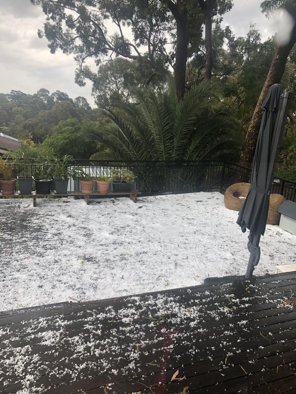
When the skies open up and Yoda falls. #SydneyStorm #hail #yoda pic.twitter.com/8VlY9n61xz
— Lisa Jayne (@eljaih) October 31, 2020
According to BOM meteorologist Jonathan How, NSW could see more thunderstorms later on Saturday afternoon stretching across the border to Queensland.
A severe thunderstorm warning remains in place for most of the NSW coastline, including Sydney, with chances of destructive winds, giant hailstones and heavy rainfall.
What a hail storm we just had! Trying to protect the car with all we had! pic.twitter.com/4xKSASRoes
— Daniel Feodoroff (@mrdanielfeo) October 31, 2020
The Northern Rivers area could also experience flash flooding.
Sydney was shaken by lightning about 1.15pm (local time) from a low pressure system.
Bizarrely, most areas around Sydney and even up the north coast have received barely any rain at all. Rose Bay has received just 2.4mm since 9am, according to the Bureau of Meteorology.
Weather Update: it will be a wet and stormy start to the weekend for #NSW, eastern #Qld and eastern #Victoria, and conditions could become dangerous yet again with another round of severe thunderstorms on Saturday.
For the latest forecasts: https://t.co/xFtG71XcI6 pic.twitter.com/xTD4jWHSMp— Bureau of Meteorology, Australia (@BOM_au) October 30, 2020
Queensland warned over ‘very dangerous’ thunderstorms
BOM said there was the risk of “very dangerous” supercell thunderstorms in a warning issued to Queenslanders on Saturday morning.
"Very dangerous thunderstorms ... supercell thunderstorms that could lead to giant hail and destructive wind gusts in excess of 125km/h,” BOM Queensland said in a tweet.
This was at our place at Hillcrest pic.twitter.com/dbcvMnAuWg
— LilllyT (@LilllyT) October 31, 2020
According to meteorologist James Thompson, there were already severe thunderstorms hitting the NSW-Queensland border and Scenic Rim.
BOM has since labelled them “life-threatening” with 13cm hail stones falling in Hillcrest south of Brisbane.
Storms began developing in Beaudesert, Ipswich, Scenic Rim, Mount Barney and Crows Nest on Saturday afternoon.
RACQ tweeted at 3.20pm local time it had already received 170 phone and vehicle claims over storm damage.
Great. #SydneyStorm #hailstorm pic.twitter.com/yJYABblTph
— Lando_Rocks (@LandoRocks) October 31, 2020
with AAP
Do you have a story tip? Email: newsroomau@yahoonews.com.
You can also follow us on Facebook, Instagram and Twitter and download the Yahoo News app from the App Store or Google Play.

