
 Yahoo Finance
 5 ways Apple maps can improve to compete with Google

Even Apple (AAPL) is tired of Apple Maps looking lost, so it’s now rebuilding that app’s cartographical foundation—one street and one crowdsourced data point at a time.
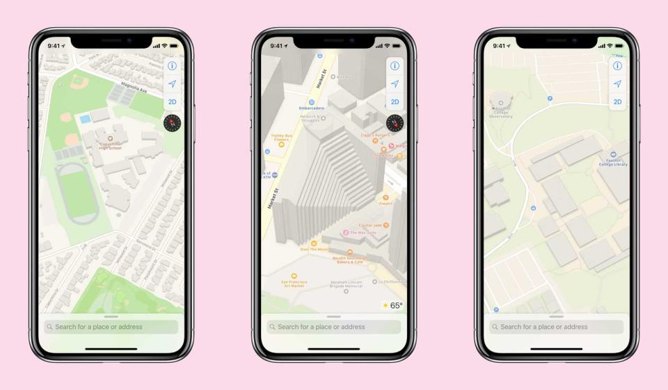
The Cupertino, California, company revealed the existence of this Apple Maps reboot, now four years in, in a report by TechCrunch’s Matthew Panzarino. By gathering information from mapping vehicles and anonymized snippets of route data from individual iPhones, Apple aims to provide users with a more comprehensive, current guide to the world—beginning this fall for iOS 12 users across northern California.
That would be a decent start to redeeming Apple Maps from a legacy of errant routing. But if Apple wants to overcome the enormous lead of Google (GOOG, GOOGL), more accurate lines and dots can only be the start.
Transit navigation in more places
Six years after Apple Maps launched without public transit information, it matches Google feature-for-feature in major cities like New York and Washington—it tells you which exit to take out of a subway station and even knows about single-purpose routes like the express bus from Metro to Dulles International Airport.
But outside of such cities, Apple’s transit support remains woefully behind, leaving Google Maps unchallenged for bus guidance in smaller places like Burlington, Vermont, and Missoula, Montana.
Beyond the U.S., Apple Maps is a joke for transit advice. It has no help for subways and buses in Bangkok, Barcelona, Brussels and Buenos Aires, and it’s just as bad across the rest of the alphabet of global cities.
I don’t know what’s made adding transit navigation such a bespoke, artisanal process at Apple, but it has to stop. Because Google and, to a lesser extent, Microsoft (MSFT) have been able to incorporate transit agencies’ schedules and routes. In fact, there’s been a standard format for that since 2006—without the work looking like cartographic trench warfare.
Not all lanes are the same
If you drive to work, your commute can go by faster if you’re willing to pay—or if you have enough other passengers in the car. But both Apple and Google have been slow to recognize the advent of carpool lanes that charge single drivers a toll but let high-occupancy vehicles (typically, from two to three people per vehicle) roll by for free.

Google’s Waze app added support for these surcharge-possible lanes at the end of November, in the form of a switch that lets people self-designate as “HOV” drivers to see the fastest, cheapest routes available.
Apple Maps should follow suit. But first, it will need to mark out carpool lanes clearly—which it does not do on the Virginia side of the Capital Beltway, more than five years after the debut of those “Express Lanes.”
Apple would also do well to roll out this feature worldwide faster than usual. Carolina Milanesi, an analyst with Creative Strategies, complained in an email that Apple took years to add lane-specific guidance on European highways. “It seems that California is their best implementation of Maps when it comes to the granularity of info,” she wrote.
Safe walking directions
Both Google and Apple could do better when guiding people on foot. I saw this firsthand last November at the Web Summit conference in Lisbon, when Google Maps suggested a seemingly optimum walking route from a restaurant back to my hotel.
But it had found one of the least pedestrian-friendly routes in that walkable city, and sent me alongside a four-lane highway mostly absent of sidewalks.
Google still offers the same defective routing, as does Apple Maps. And complaints of unsafe walking directions continue to pop up.
This could be a chance for Apple to do better: The amount of data its vans collect (TechCrunch’s Panzarino counted eight cameras and four LiDAR sensors on one) should allow it better insight over what makes a safe path for a pedestrian.
Bikes belong too—and so do scooters
If you get around on two wheels, Google Maps remains unchallenged eight years after Google added bicycling directions, even as bike-sharing services have revolutionized getting around cities.
At a minimum, Apple should show cyclists the way as well as Google does—and it looks like Apple might do just that. In a Twitter thread following up on his story, Panzarino noted that Apple is already recording the speed at which people cross parks—an obvious indicator of cycling versus walking.
But why not do better? To the extent that bike-sharing services allow public access to their availability data, a navigation app should be able to tell you which ones have bikes open near you—something third-party services like Transit Screen already do. The same goes for the electric bike and electric scooter sharing services that let people get a little farther across town without breaking a sweat.
All-of-the-above routing
Both Apple and Google’s maps show their age when they list driving and transit as separate categories—but there’s no reason to do that when you can start a trip on a shared bike, take a train and then let Lyft or Uber complete your journey.
“I’d like all apps including Google to do multimodal—like ‘take transit here and then hop on Capital Bikeshare from there’ or ‘Uber to transit’ or the like,” commented David Alpert, founder of the transit-and-development-policy site Greater Greater Washington. “Now it assumes you are using one mode.”
An only-Apple situation
Looking at all the things Apple Maps botches today, it can be tempting to tell people to stop waiting on Cupertino and use Google Maps already.
But Apple doesn’t let iPhone users designate another map app as the default for navigation. If you use an Apple Watch, you can’t have Google call out turns on your wrist. And until iOS 12 ships, you can’t use Google Maps or Waze on the CarPlay screen of a suitably equipped vehicle.
Apple has essentially said “I alone can fix this.” So it had better do that.
More from Rob:
Facebook’s push to kill bad political ads is also hiding regular posts
How Europe’s proposed copyright laws could ruin your search engines
Email Rob at rob@robpegoraro.com; follow him on Twitter at @robpegoraro.
